
TURNPIKE ROAD - LOWERING OF CHURCH ROAD
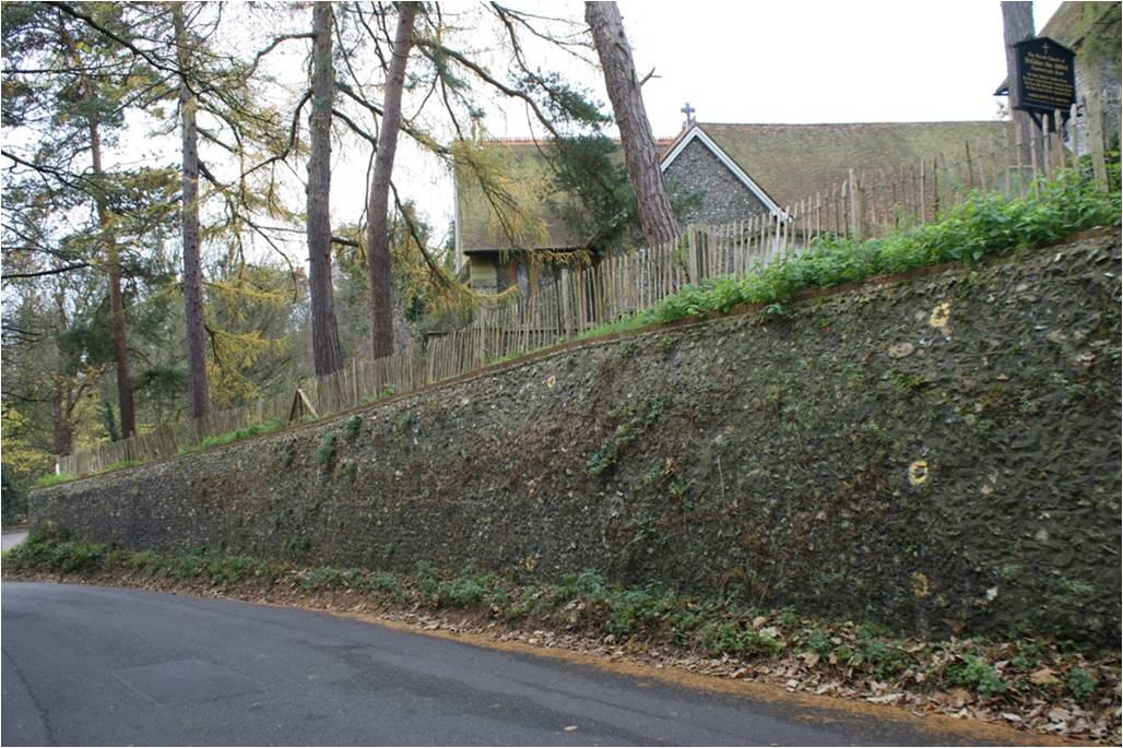
In 1833 the level of the road running past St Giles church in Farnborough was lowered to make passage easier for horse-drawn coaches. This is why the road now sinks below the level of the ground to either side at this point.
The main route of the Turnpike had been changed some years before to go down Farnborough Hill, but evidently there was still sufficient traffic using the earlier route that it was worthwhile making the investment.
The level of the ground below the church is also known to have become generally lower as a consequence of gravel extraction.
 |
 |
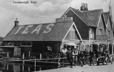
The photo on the right above is from the beginning of the last century, and shows how the road sinks down below the old ground level. It is not easily possible to recreate this view today because of the growth in trees and other vegetation, and the erection of new fencing.
 |
 |
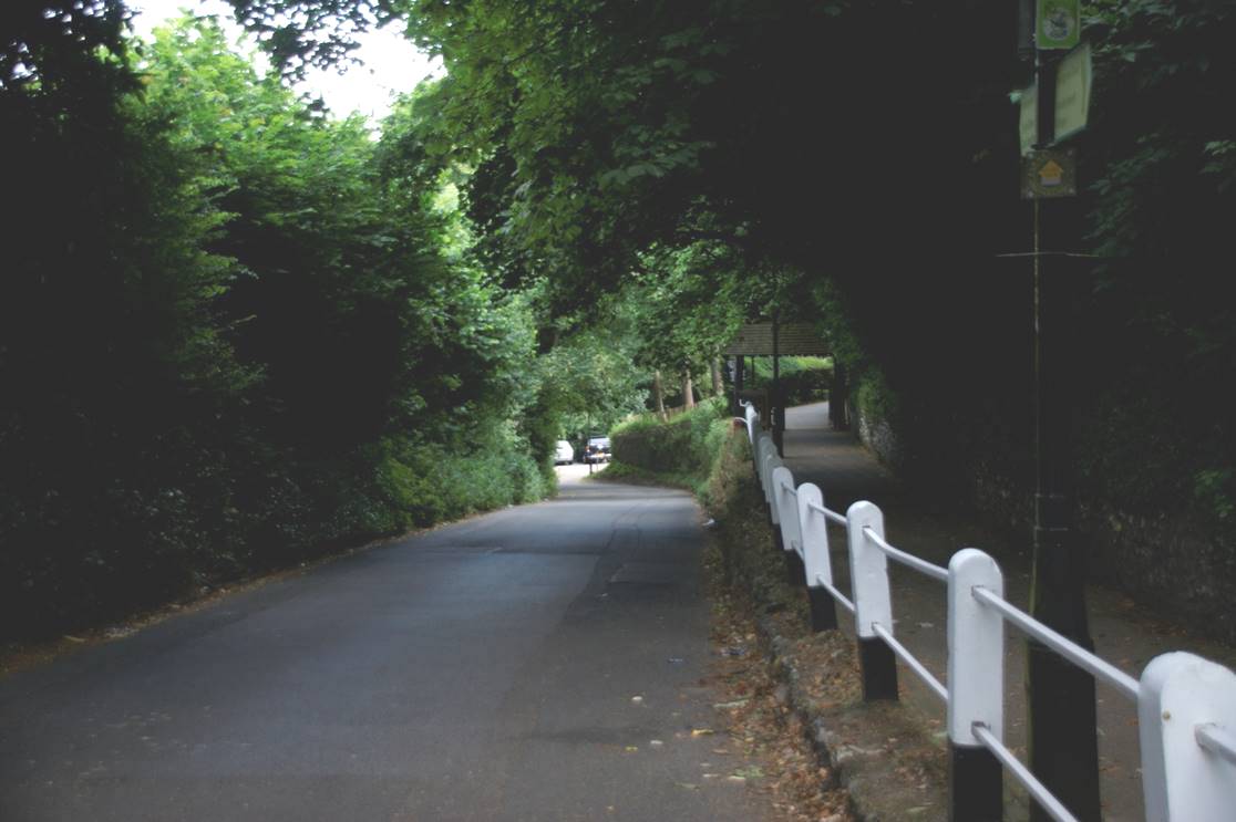
Below the church it is difficult to make out the original ground level as there was later extraction of gravel from the ground at this location.
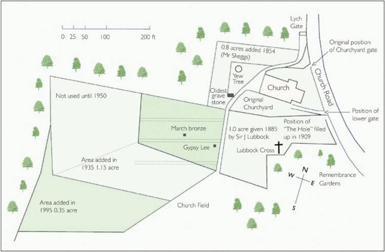
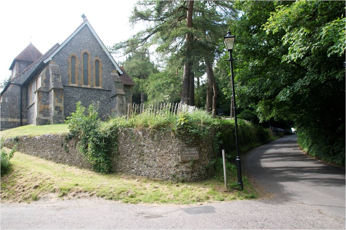
The lowering of the road led to the resiting of the two entrances to St. Giles churchyard. The original positions are indicated by two arrows pointing toward Church Road in the diagram above. Note that the main part of the churchyard did not exist at this time. It was added in phases as new land was acquired from the end of the nineteenth century.
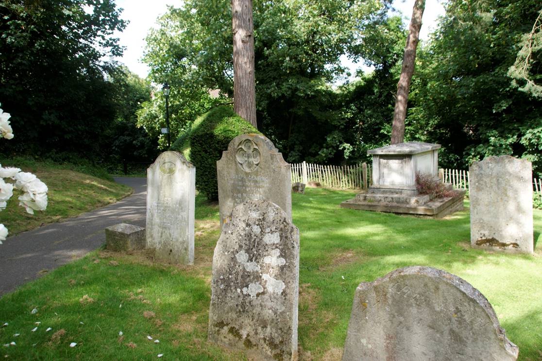 |
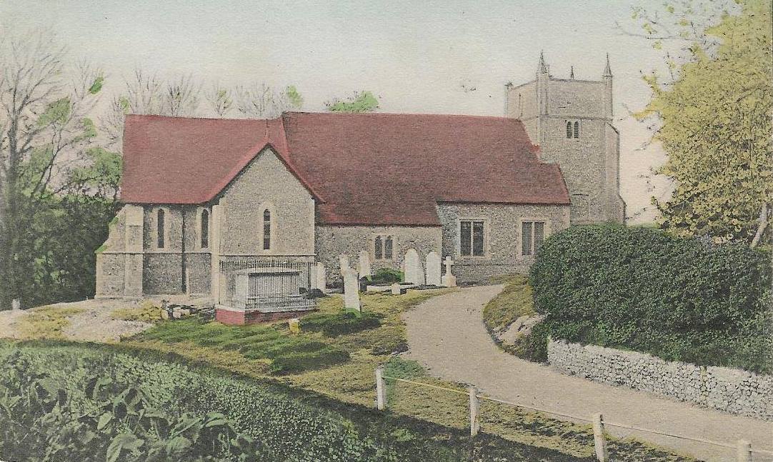
The original position of the top entrance is indicated by
the large table topped monument shown in this photograph,
directly above the drop down to the road. The burials in this grave start from about 1850, considerably later than those of the surrounding graves, which are in the very oldest part of the St. Giles churchyard. |
TURNPIKE