TURNPIKE ROAD - PRATTS BOTTOM TO DUNTON GREEN
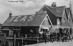
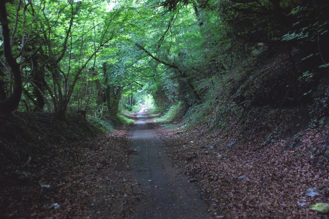
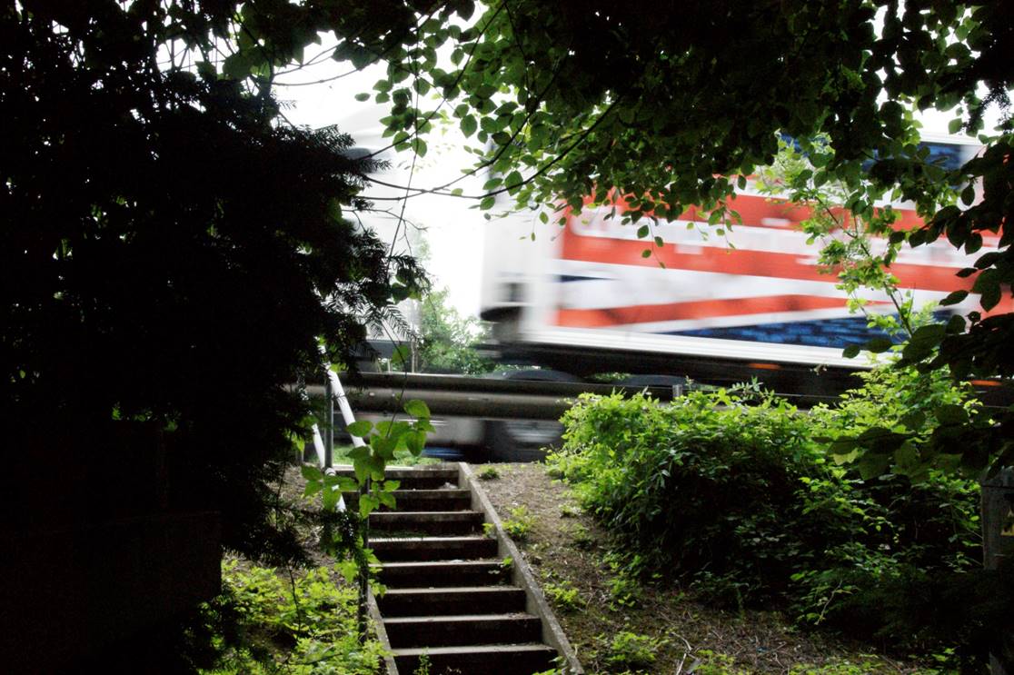
In 1834 a major change was made that diverted the route for several miles between Pratts Bottom and Dunton Green. This was to take advantage of the new easily graded route that had been built at Polhill to descend from the top of the North Downs down to the valley below. There was an ancient route that descended Polhill, but the Old Polhill road was far too steep and twisty for use by large coaches - see photos on this page.
 |
This change meant that the village
of Knockholt no longer benefitted from trade associated with the
turnpike, although ironically the new alignment does pass by the later Knockholt
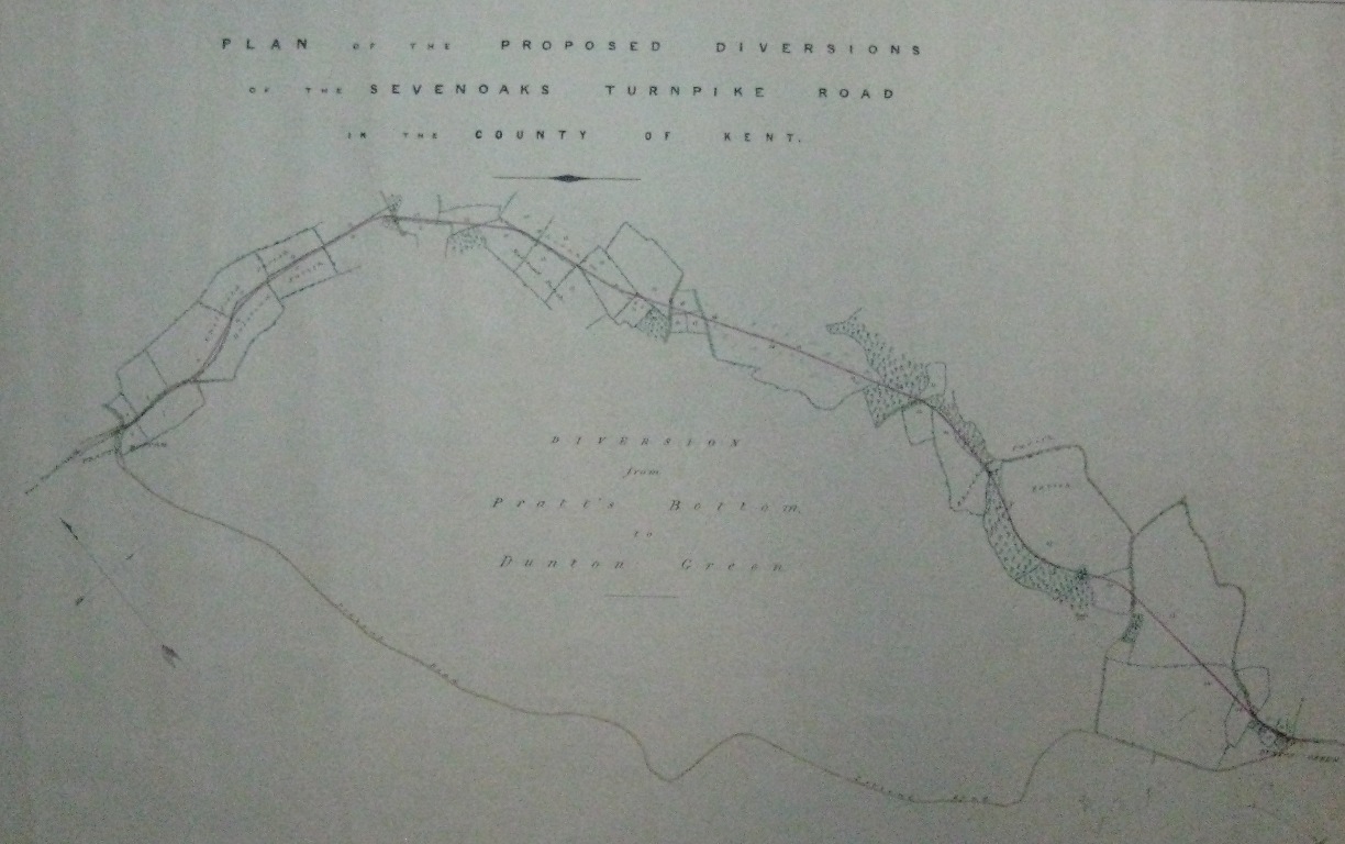
station, opened in 1868. This map shows the extent of the changes, with the new route at the top of the map, and the original route via Knockholt toward the bottom. |
The photos on this page follow the new route, but this has in turn been subject to considerable disruption in more recent times due to the construction of the M25 motorway
.
 |
 |
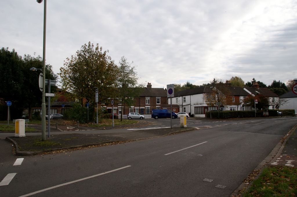
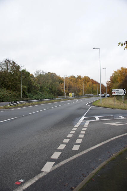
The diversion starts at the location of the modern roundabout at Pratts Bottom. The original route made a right turn at this point to start the long climb toward Knockholt, but the new route carries straight on.
 |
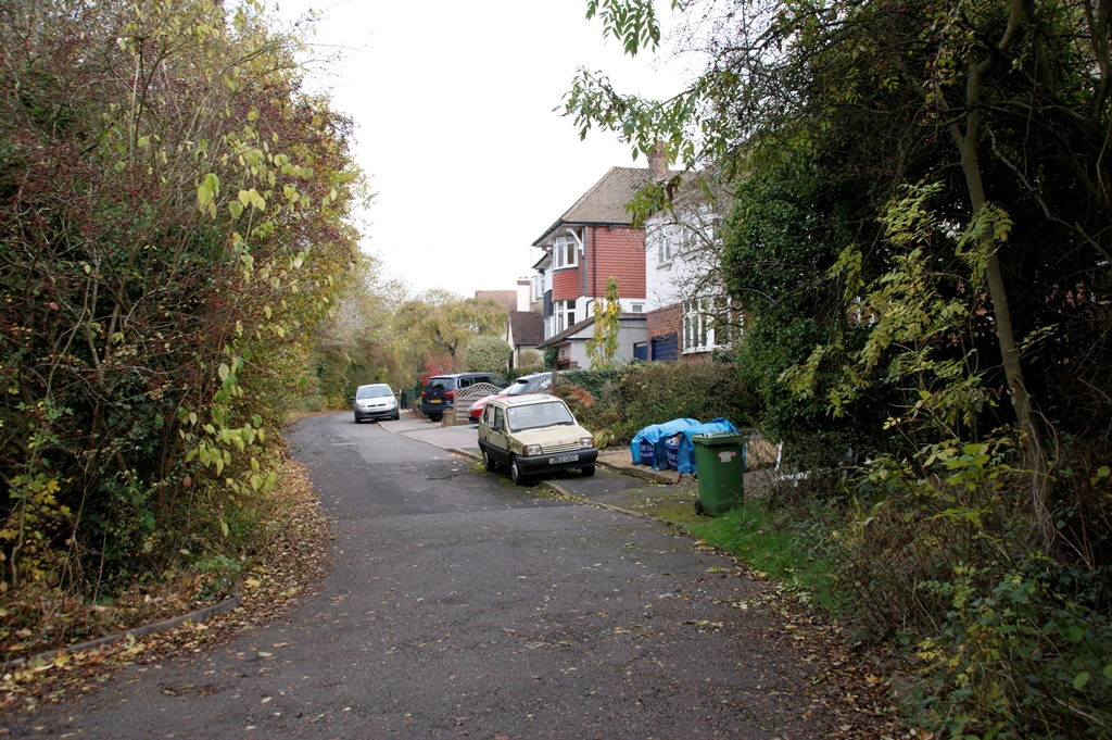 |
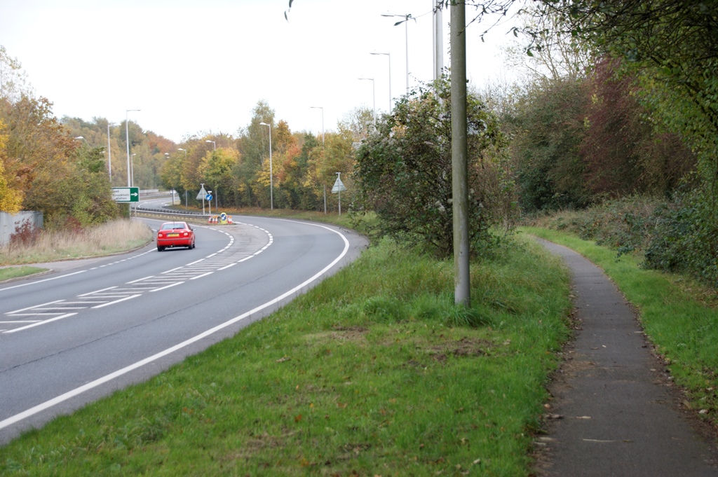
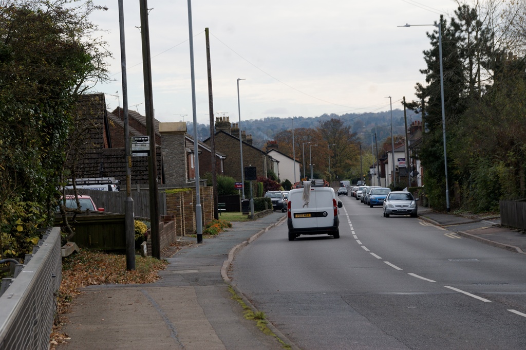
The route then follows the footpath for a short distance where it diverges from the road, as shown in the photo above, and enters a short leafy side road past housing, now hidden behind trees. The main road now swings to the left up toward the junction with the A224.
|
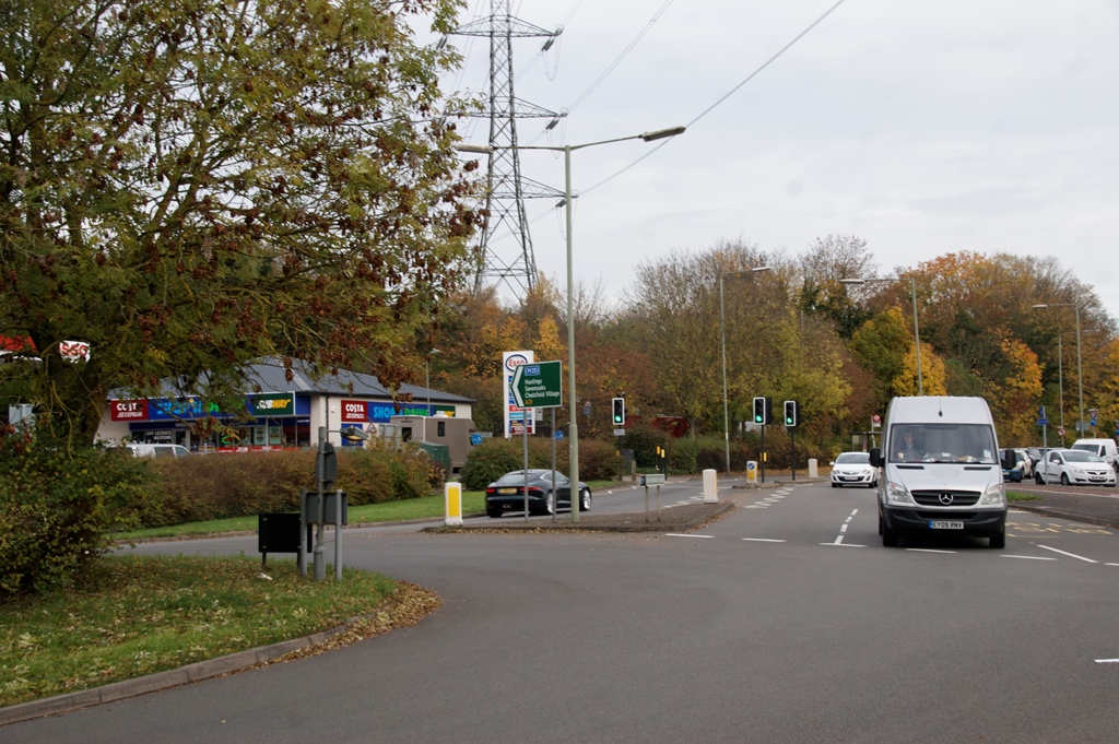
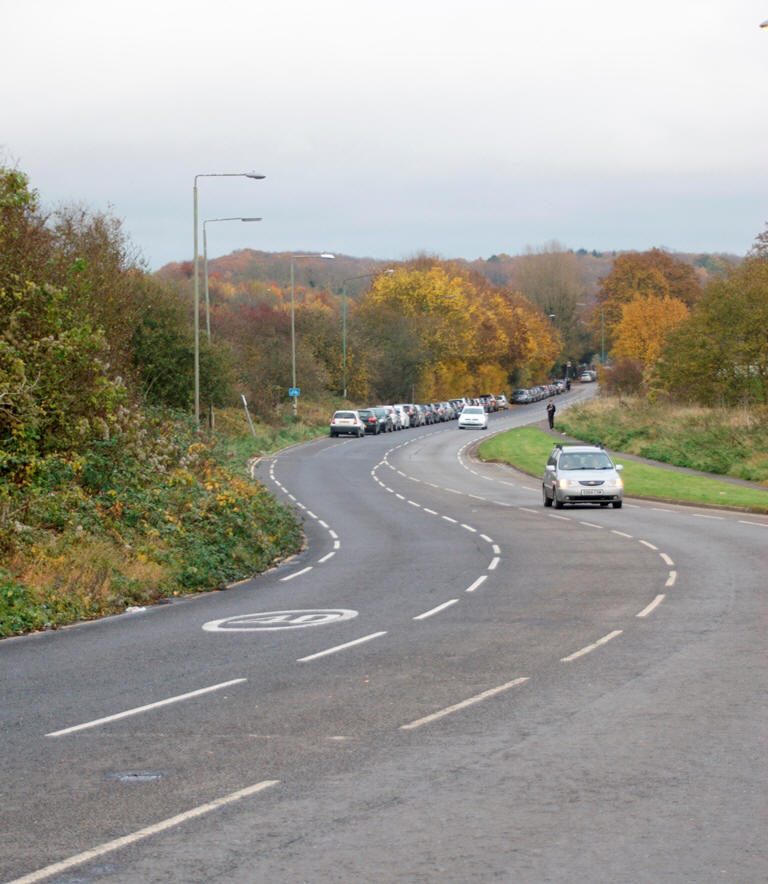
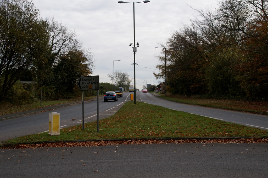
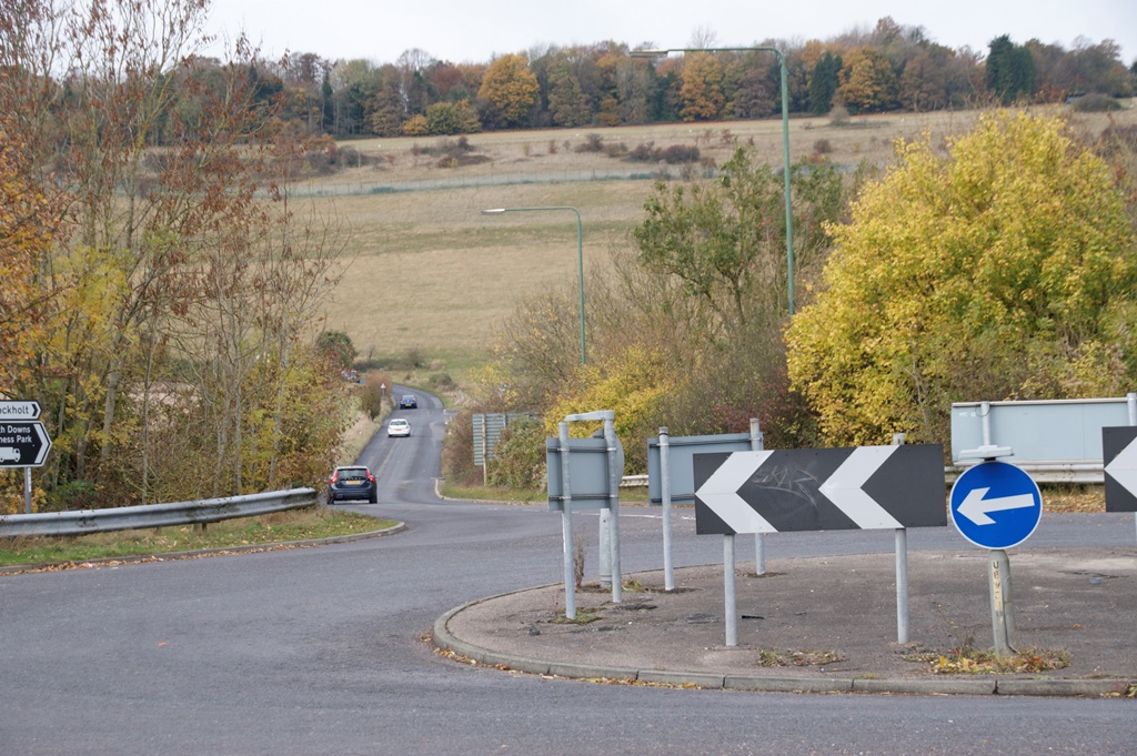
Travelling by car it is now necessary to take this turn to the right to rejoin the turnpike route, and start the long steady climb toward the summit of Polhill. On the way Knockholt station is passed. The station itself cannot easily be seen from the road, but its location is nearly always marked by a line of parked cars. |
 |
 |
 |
 |
 |
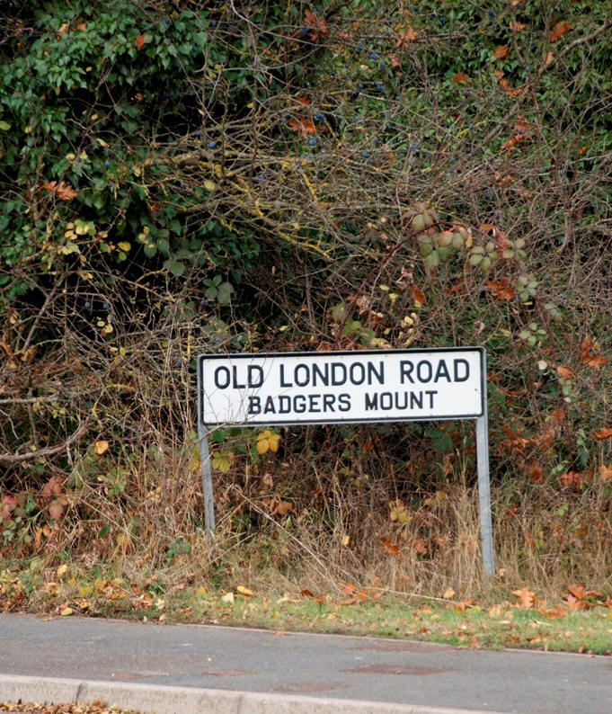
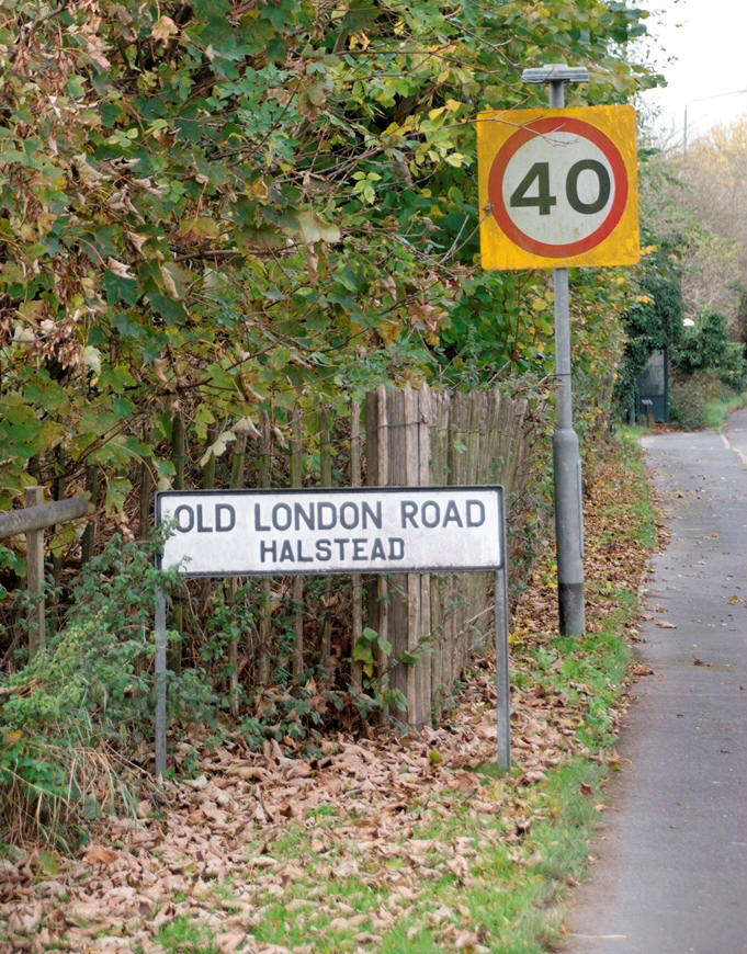
Passing Badgers Mount the road has differing road names to either side. Strictly speaking neither is correct, as this has only been The "London Road" since 1834, and there is a further 'Old London Road in Knockholt on the original route. Perhaps a better name would be "Not So Old London Road" ? After passing the junction shown in the third photo above, the route Continues past Polhill Garden Centre to reach the top of Polhill.
 |
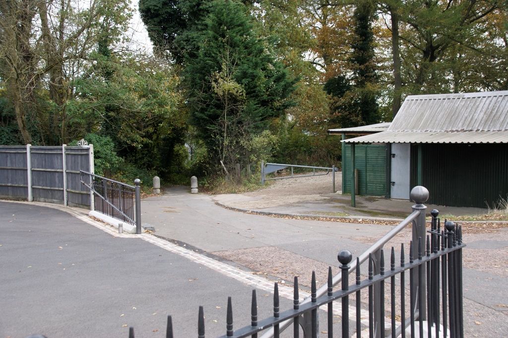 |
At this point it is worth taking a detour through the bollards shown in the above two photos. Going through these you enter a largely hidden, steeply graded and normally muddy track-way. This is old Polhill, descending to the valley below, and far too steep to be used by large coaches. This was why it could not form part of the original turnpike route.
 |
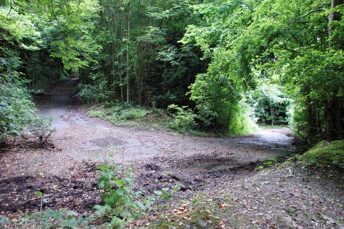 |
Toward the bottom it makes two virtually 180 degree bends. Until the M25 was built this road was open for motor traffic, albeit in the downhill direction only. But now the tranquility here is shattered by traffic noise, and the route passes under the motorway in a very narrow concrete cutting. As a consequence the road can no longer be used by motor cars, however it is still popular as a Cycle Route
 |
 |
Returning to the main road, and descending to the bottom of Polhill, today the road bends round to the right to join the original route at this roundabout.
 |
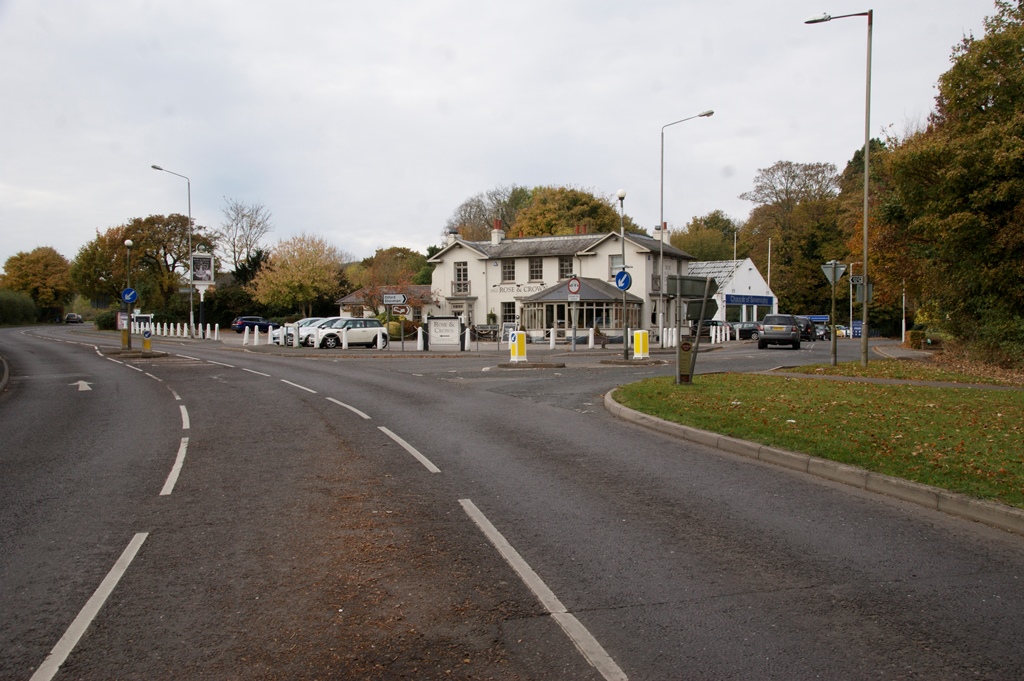 |
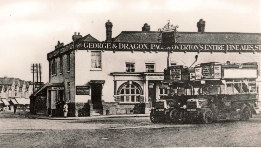
But this is a recent change: before the M25 was built the turnpike carried straight on at the bottom of Polhill and rejoined the original route at the pub shown in the photo. This is confirmed by the name of the road shown coming in from the right - London Road.
 |
 |
From this point onward the original route is followed, over the M26, then onward through Dunton Green, Riverhead and up into Sevenoaks.
TURNPIKE
Fort Halstead
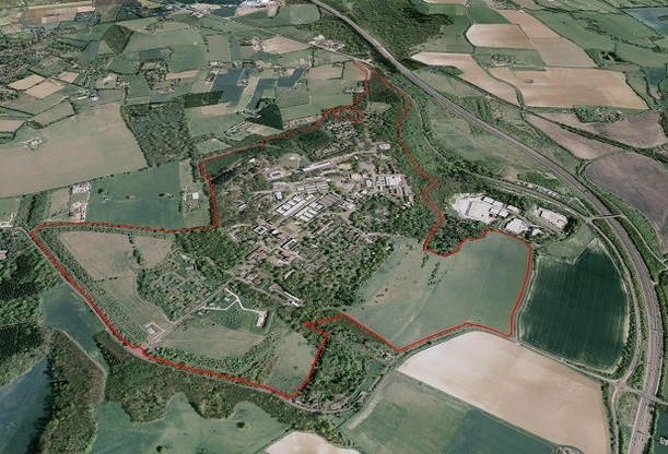
This is an aerial photo of the Fort Halstead research site on the top of the Downs above Dunton Green.
The boundary line is shown in red.
See also:
Google Maps View
Fort Halstead (Wikipedia)
The original turnpike route is seen coming from Knockholt village at the left edge of the photo, running along the boundary of the site, and then dropping down on the right.
The revised route borders the site on the other side, entering the photo in the middle of the top edge, and then runs along the edge of the site, down Polehill, to join the earlier one in Dunton Greenn.
The M25 is also clearly shown in the photo, further to the right (east)
Click on photo to enlarge