
THE PARLIAMENTARY ROADS
In the part of the village between the High Street and Farnborough bypass, is an estate of neat terraced houses arranged along roads named after parliamentary figures from the nineteenth century, The four original roads are Palmerston Road, Pitt Road, Cobden Road and Gladstone Road. A fifth Peel Road was added later. They are known collectively as the 'Parliamentary Roads'
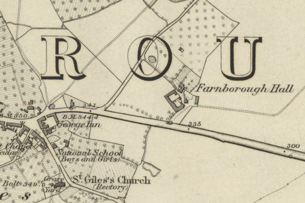
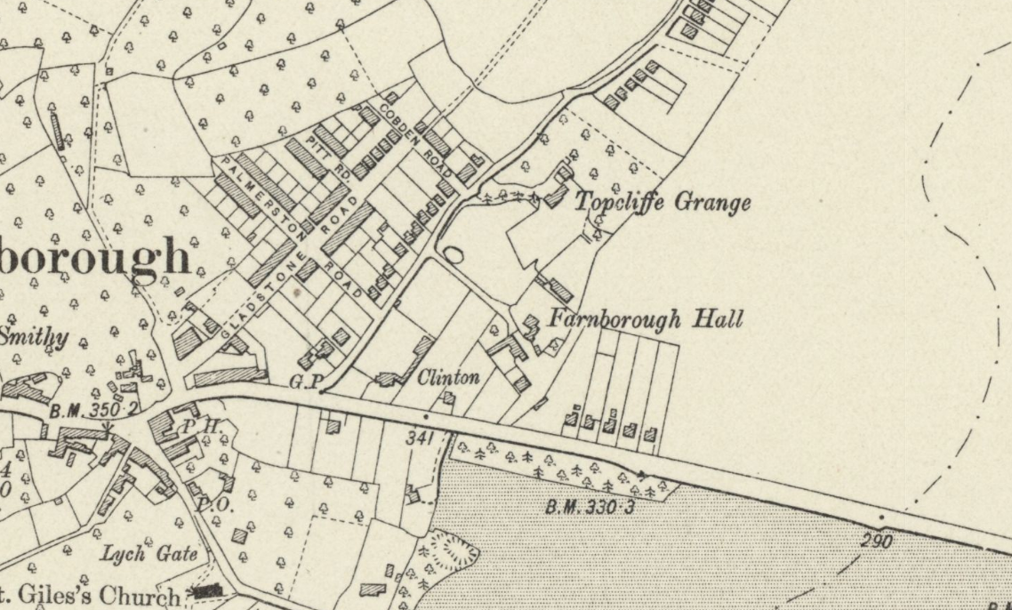
These two maps are from 1870 and 1910, so before and after the original estate was built. Click the images to enlarge,
It can be seen in this second map that Gladstone Road follows the line of the footpath shown in the earlier one. This path today still continues between houses in Cobden Road and reappears on the other side of Farnborough bypass.
Also, the houses in Palmerston Road, Pitt road and Cobden Road end abruptly at the pre-existing field boundary. Presumably the intention was to extend these roads once that field had been acquired for development, but this did not happen, and these roads remain truncated to this day. This is perhaps fortunate, as space was thereby left to build Farnborough bypass some thirty years later.
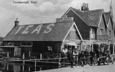
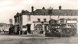
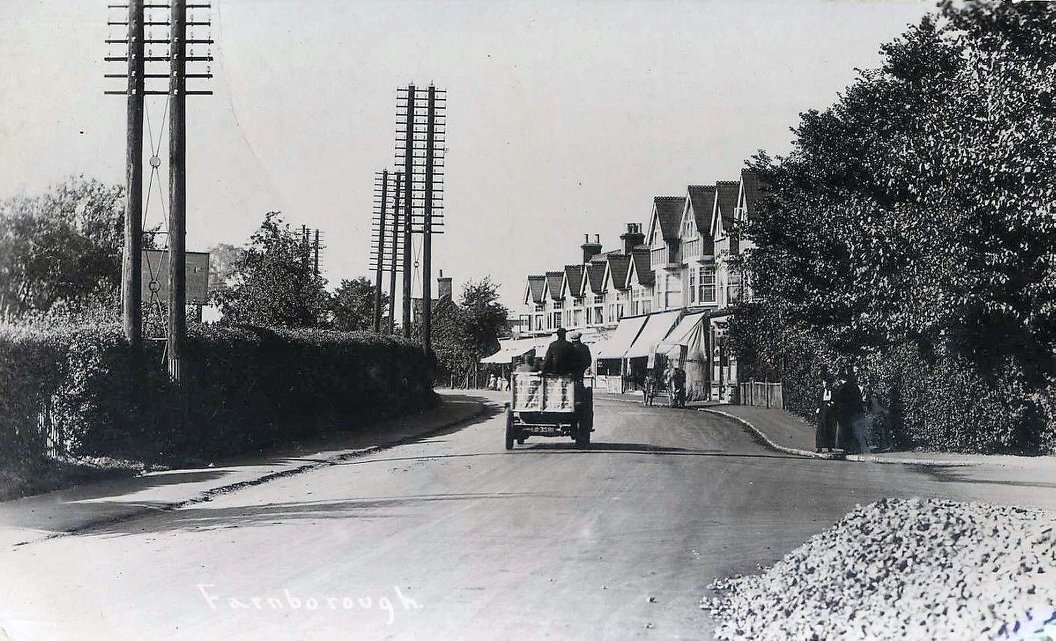
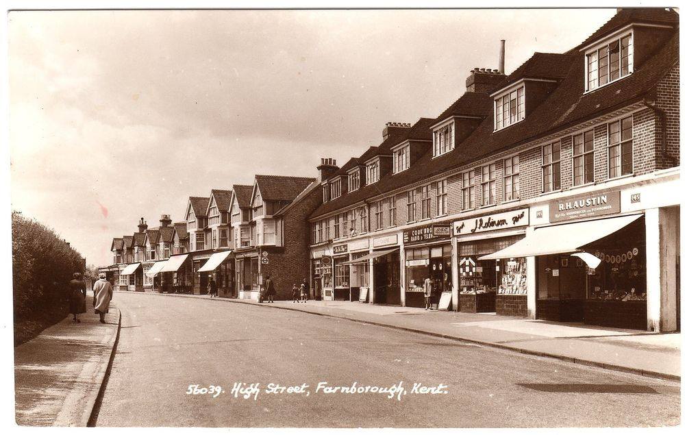
Shown on this map is the first part of the parade of shops that runs along the High Street. These are shown in the left photo below before the second part of the parade was added, which can be seen in the second photo..
 |
 |
 |
 |
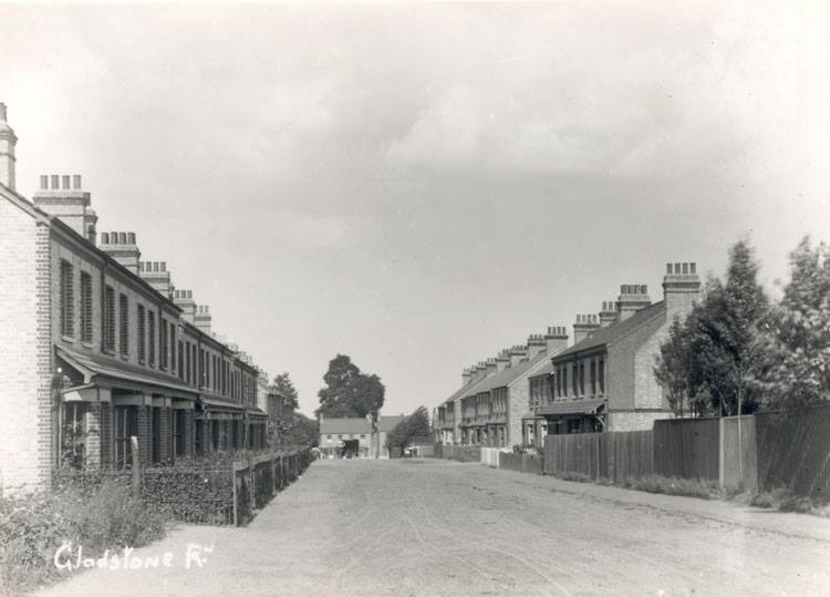
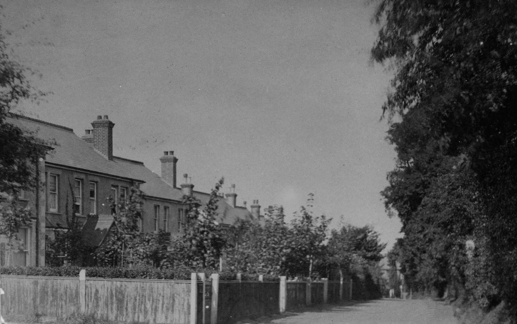
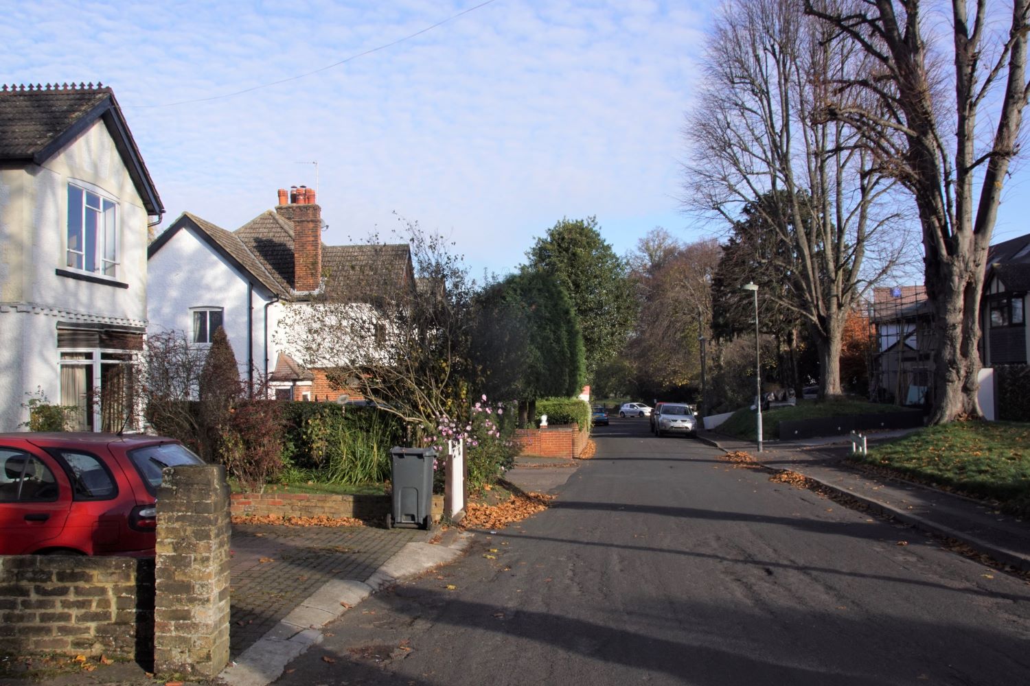
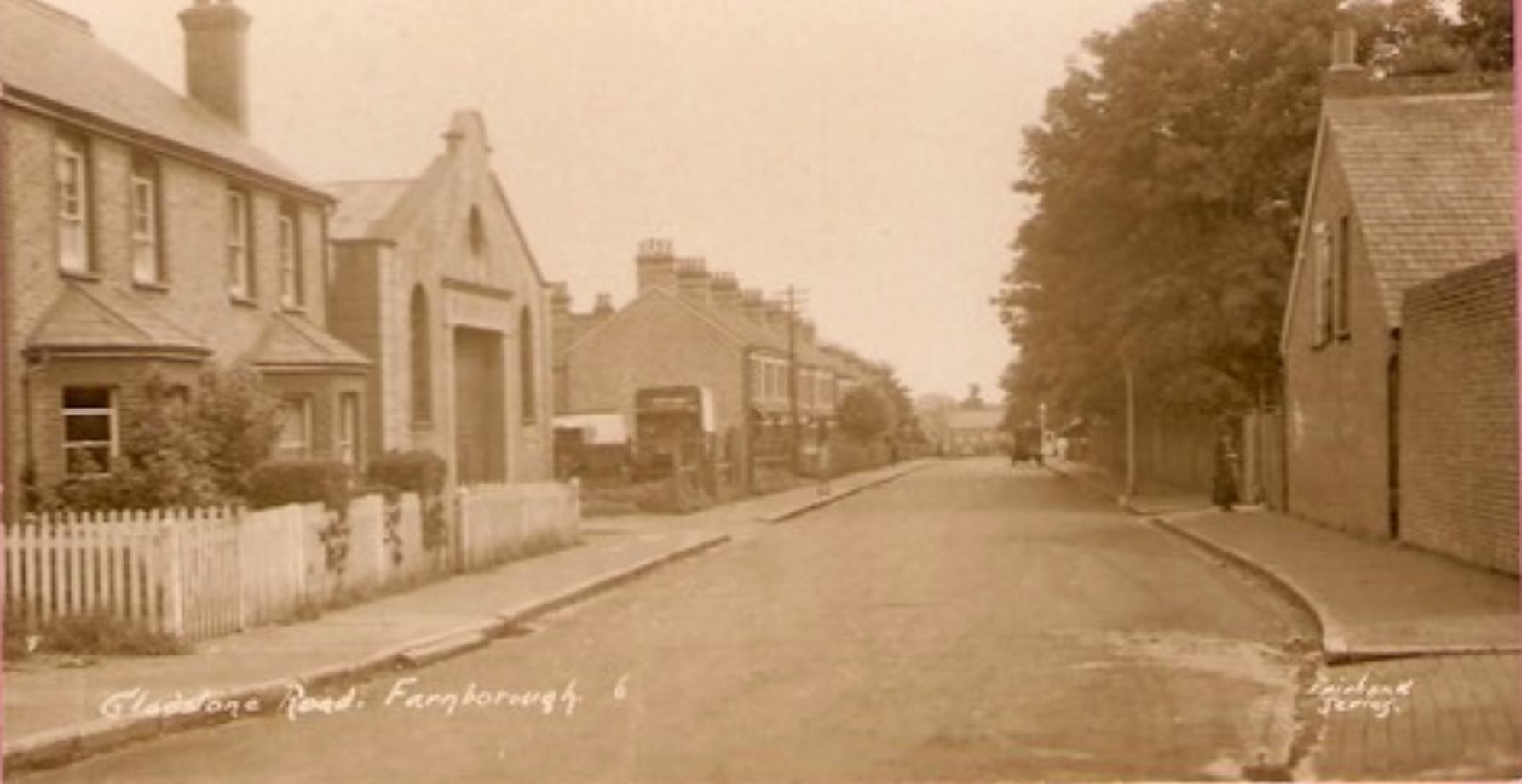
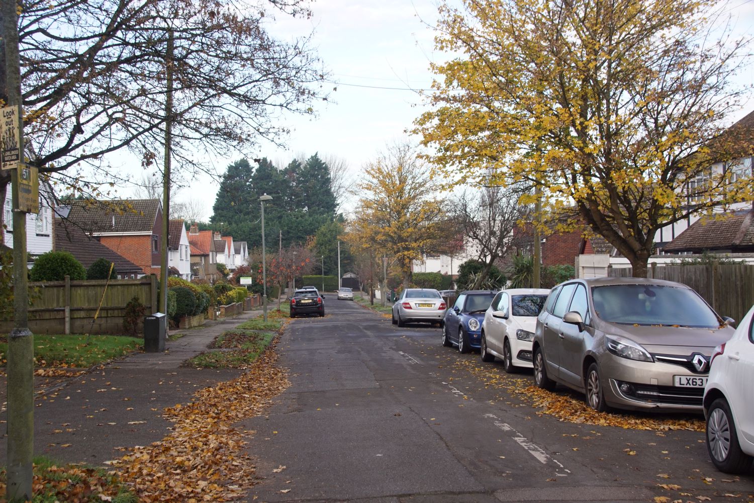
These photographs show Gladstone Road (above) and Tubbenden Lane (below). The latter was renamed Tubbenden Lane South when vehicular access to the main part of Tubbenden Lane across the bypass was sealed off.
 |
 |
 |
 |
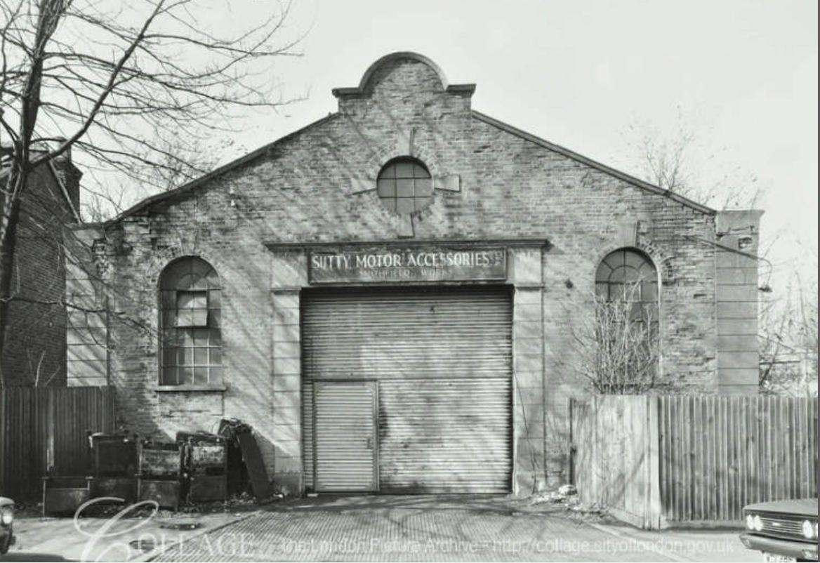
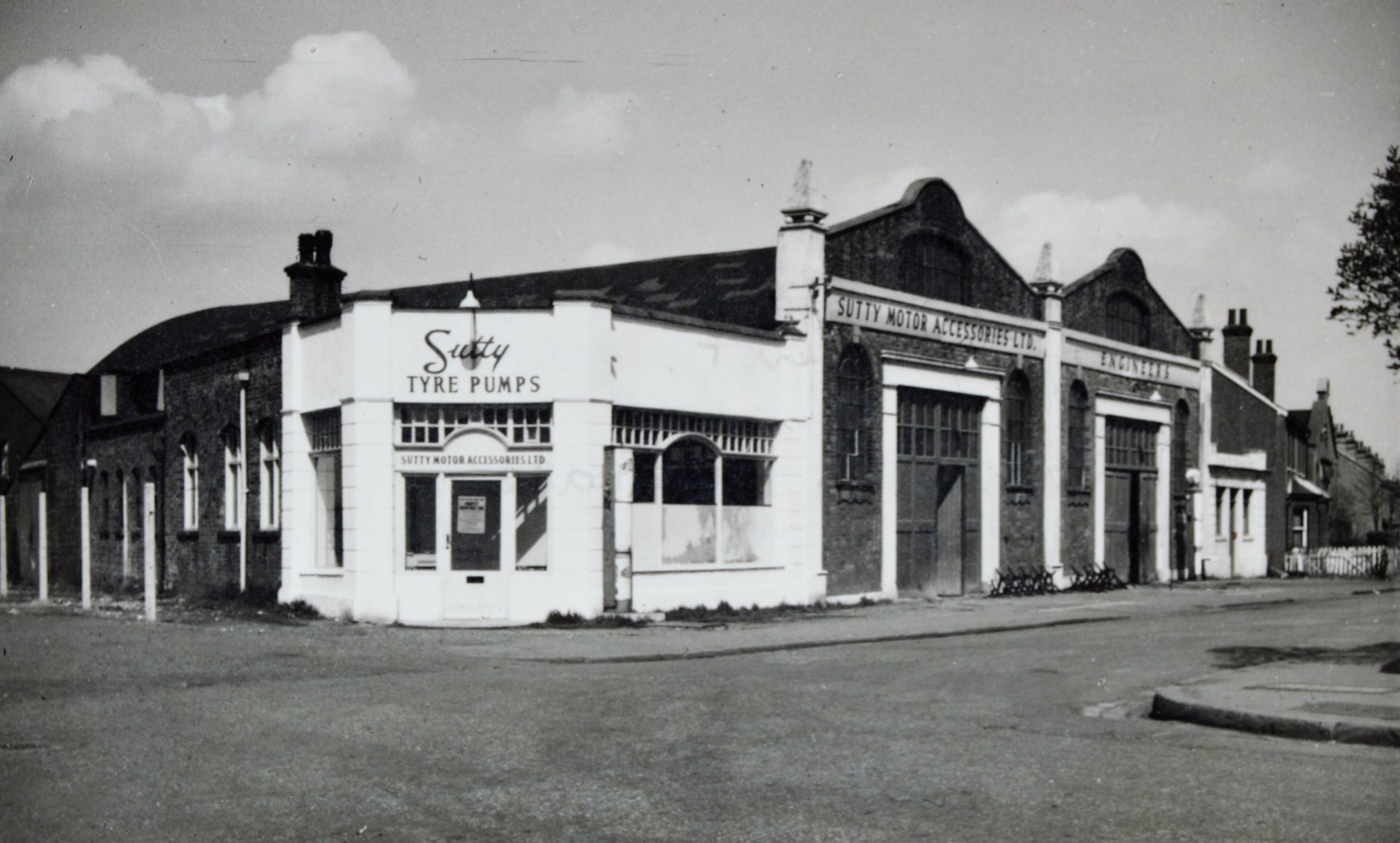
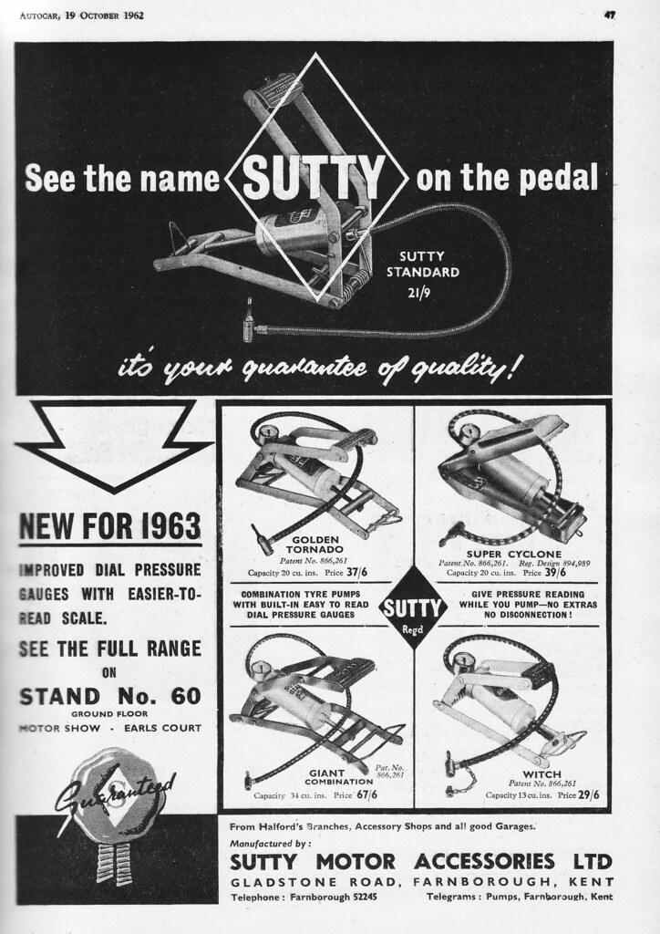
For many years at the end of Gladstone Road was the factory of Sutty Motor Components. This comprised one large and one smaller set of works buildings, with a pair of houses between that are similar in style to the remainder of the development. The smaller factory building (right below) does not appear on the 1910 map above.
 |
 |
 |
 |
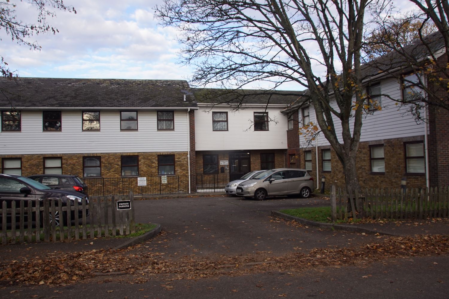
The components factory has now gone, along with the two original houses. The housing and apartments shown below now occupy the site.
 |
 |
This final map is dated 1950. Some further houses have been added along Cobden Road, but the parade of shops along the High Street has not yet been completed,
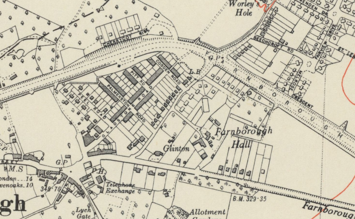
The biggest change is the appearance of Farnborough bypass, which now cuts through the end of Tubbenden Lane. At that time it was an open junction, not being closed off to through traffic until much later.
The bypass resulted in the loss of the short-lived 'Topcliffe Grange which can be seen in the second map. However the name lives on in the form of Topcliffe Drive. It can be seen that the new housing that today fills in the space between Farnborough Hill and the bypass, completely surrounding Farnborough Hall, was not all developed at the same time.
Finally the map also shows the fifth 'parliamentary road', Peel Road, by now established containing further new housing, pictured below.
FARNBOROUGH VILLAGE
Speculative Development
Mr. Thomas Hubbard acquired part of the pastureland of the Farnborough Hall Estate from Sir Percival Hart Dyke in 1899 for building purposes. Hubbard was a patriotic man and named the roads after parliamentary statesmen.Farnborough had no significant local industry for residential expansion except Fox's Brewery at Green Street Green, but a railway connection was planned through Farnborough which prompted Hubbard's development.
The village population increased markedly in the 20 years to 1911, compared to the preceding 100 years when it had been stable at only about 500 people.
However the railway was never built, and by 1910 the builder had gone bankrupt. Probably as a consequence the eastern side of Gladstone Road was not fully developed.
Further housing has been added over the years, some built on the ends of gardens of villas in Tubbenden Lane South, clearly originally much longer, as can be seen on the second map.
The terraced and semi-detached houses in these streets were workmen's cottages (although No. 26 Gladstone Road was a Barber's shop) named in groups such as "Ruskin Villas", "Sidney Cottages" or individually such as "The Laurels" and "Ivydene". The housing and remaining small scale industrial buildings dating from this era share a common local style of stock bricks, slate roofs and delicate ornamental tile and window details
The eastern frontage of the development runs along Tubbenden Lane which at the time faced directly onto the lands of Farnborough Hall, the entrance to which is today sandwiched between later housing, mainly post second world war.
Along Tubbenden Lane the Victorian/Edwardian Villas are in spacious plots which were given romantic original names like "Camelot", "Ivanhoe" and Nos. 318 and 314. "Martindale" and "Marsland". The last pair, although altered, are in the Bromley 'Arts and Crafts" style with rendered walls, high pitched roofs and carefully, arranged windows.
Adapted from a London Borough of Bromley publication 1995.