
GREEN STREET GREEN
Historically named Greenstreet Green, this is today virtually the first built up area that is reached when approaching Greater London from the M25 along the A21, the former turnpike road from Sevenoaks and Hastings. However, before the nineteenth century it was just a hamlet, with a few buildings clustered around the point where the road toward Orpington and the industrial sites along the Cray Valley diverged from the turnpike road to London.
Unlike today it lacked a church, and was, as a consequence, within the Parish of Farnborough, the centre of which is about one mile and a half away.
The awakening of the hamlet and its transformation into a village in its own right was due entirely to the establishment of the Oak Brewery by the Fox family, who over three generations not only ran the business, but contributed to the development of the village, and the wellbeing of the brewery workforce. The pages in this part of the website tell the full story of the rise of Green Street Green as a village with its own identity. This is intrinsically linked to the Oak Brewery, and its eventual decline and liquidation, as a consequence of financial mismanagement,
Further pages describe places just outside the three villages, including High Elms.
Ordnance Survey Maps
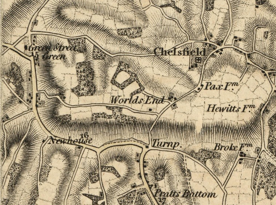
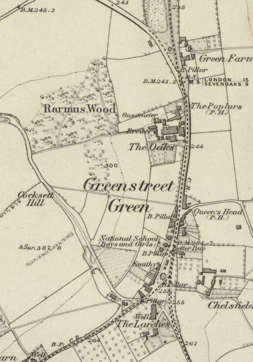
Here are extracts from Ordnance Survey maps from 1809 through to 1950. They are copyright Ordnance Survey, and are downloads from the National Library of Scotland website Click on images to enlarge.| One Inch to the mile, surveyed c 1805 published 1809 | |
 |
|
| This first map dates from long before the
Oak Brewery was established. There is just a small
cluster of buildings around the point where the road from
the Cray Valley joins Old Hill . |
|
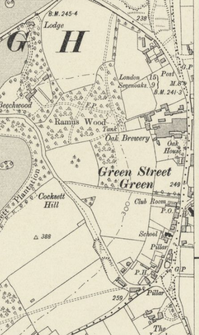
| Six Inches to a mile, surveyed 1870 (left) and 1910 (right) | |
 |
 |
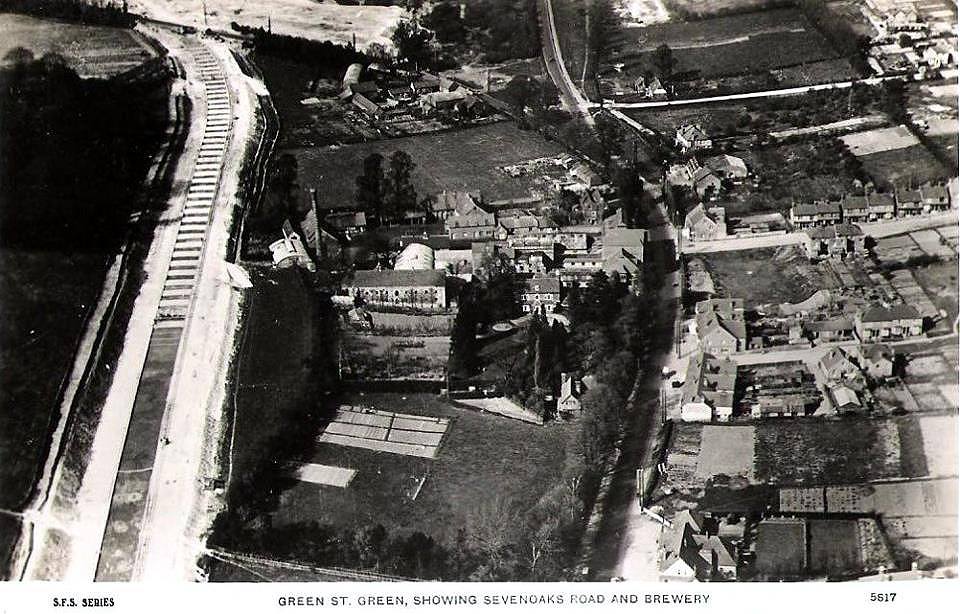 |
This aerial photograph was taken in the 1930s, when
the bypass was under construction. Oak Farm can be seen adjacent to the main road through the village, where the bus garage is now., The derelict brewery can also be seen, with the chimney and many of the buildings by now demolished. |
| Six Inches to a mile, revised 1948, published 1950 | |
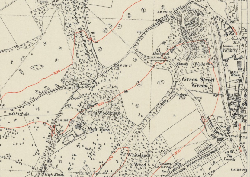 |
 |
 |
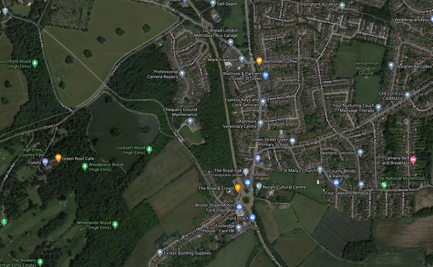
Here is an image from Google maps, click for a dynamic Google maps enlargement
 |
THE LOCAL AREA
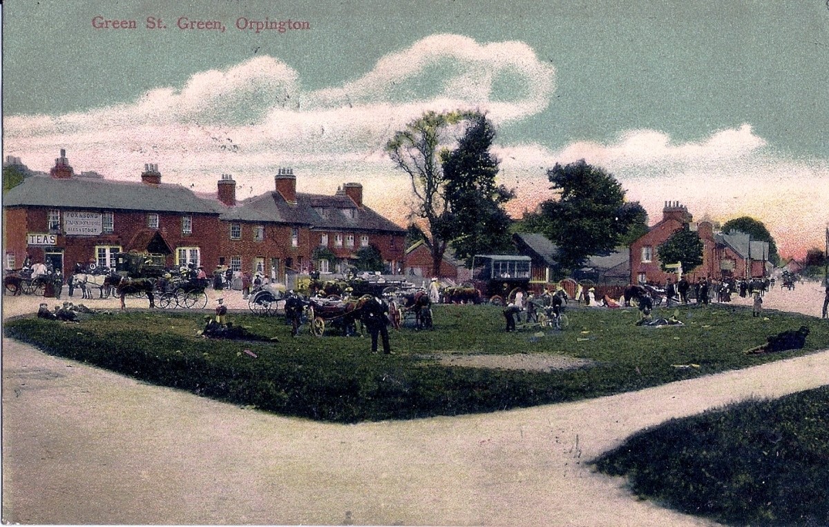
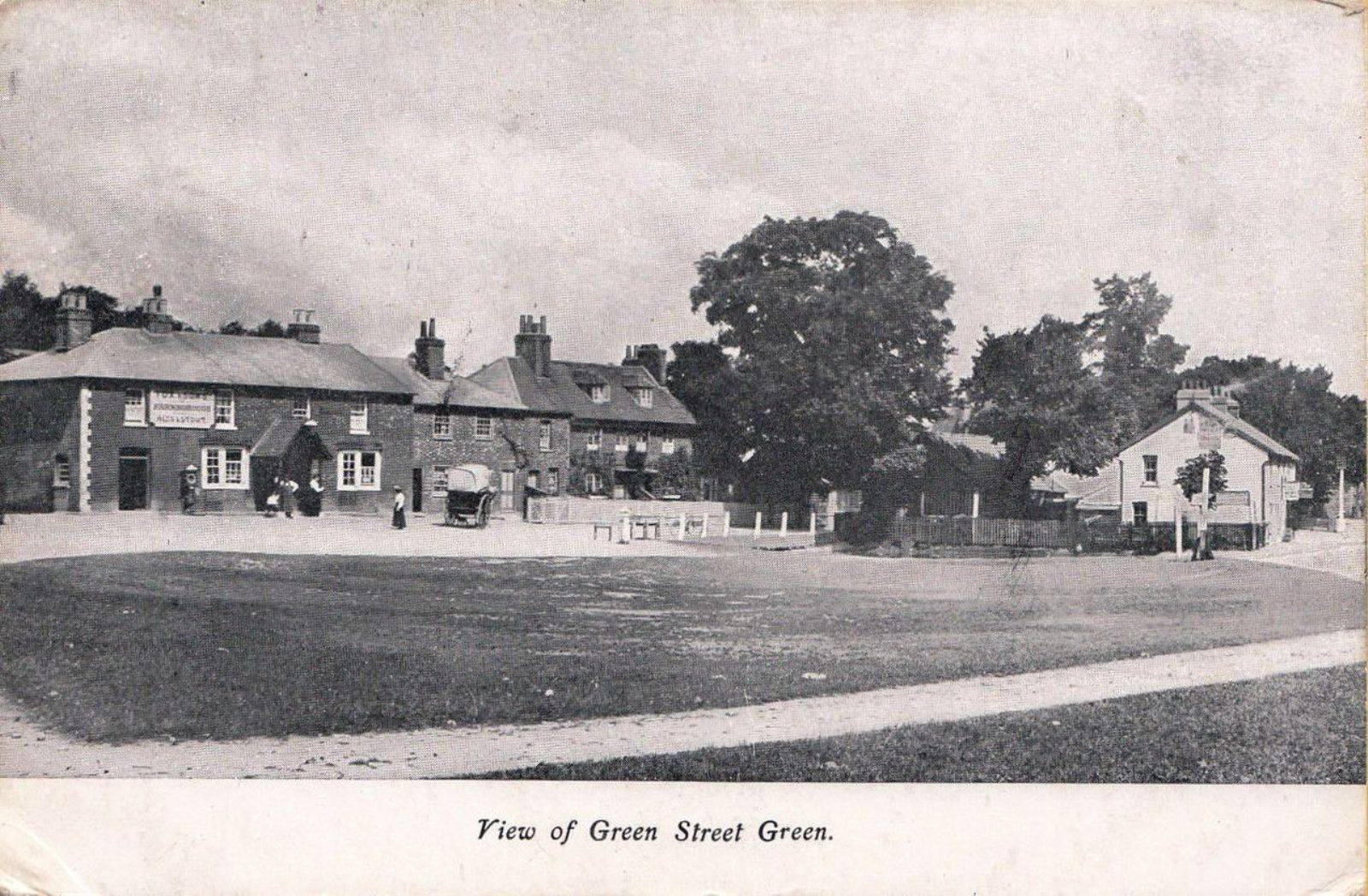
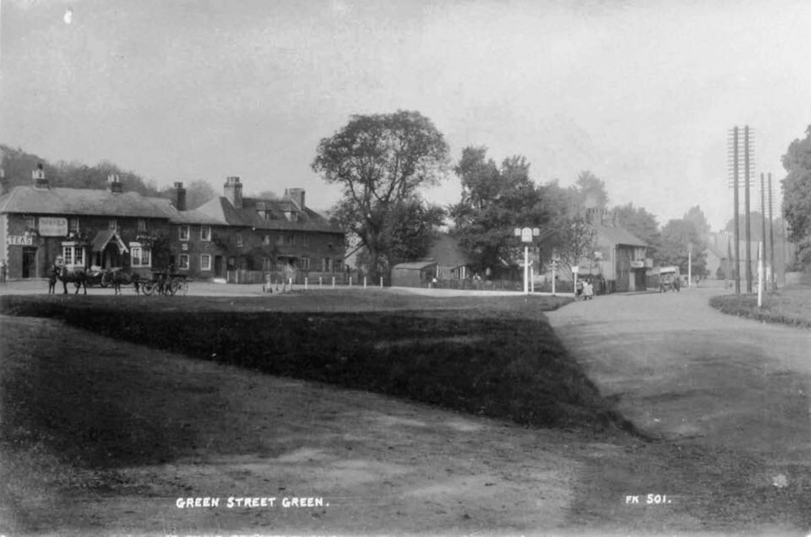
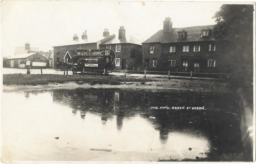
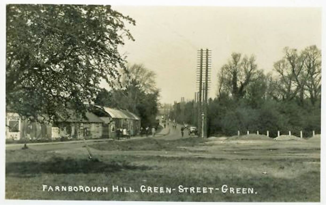
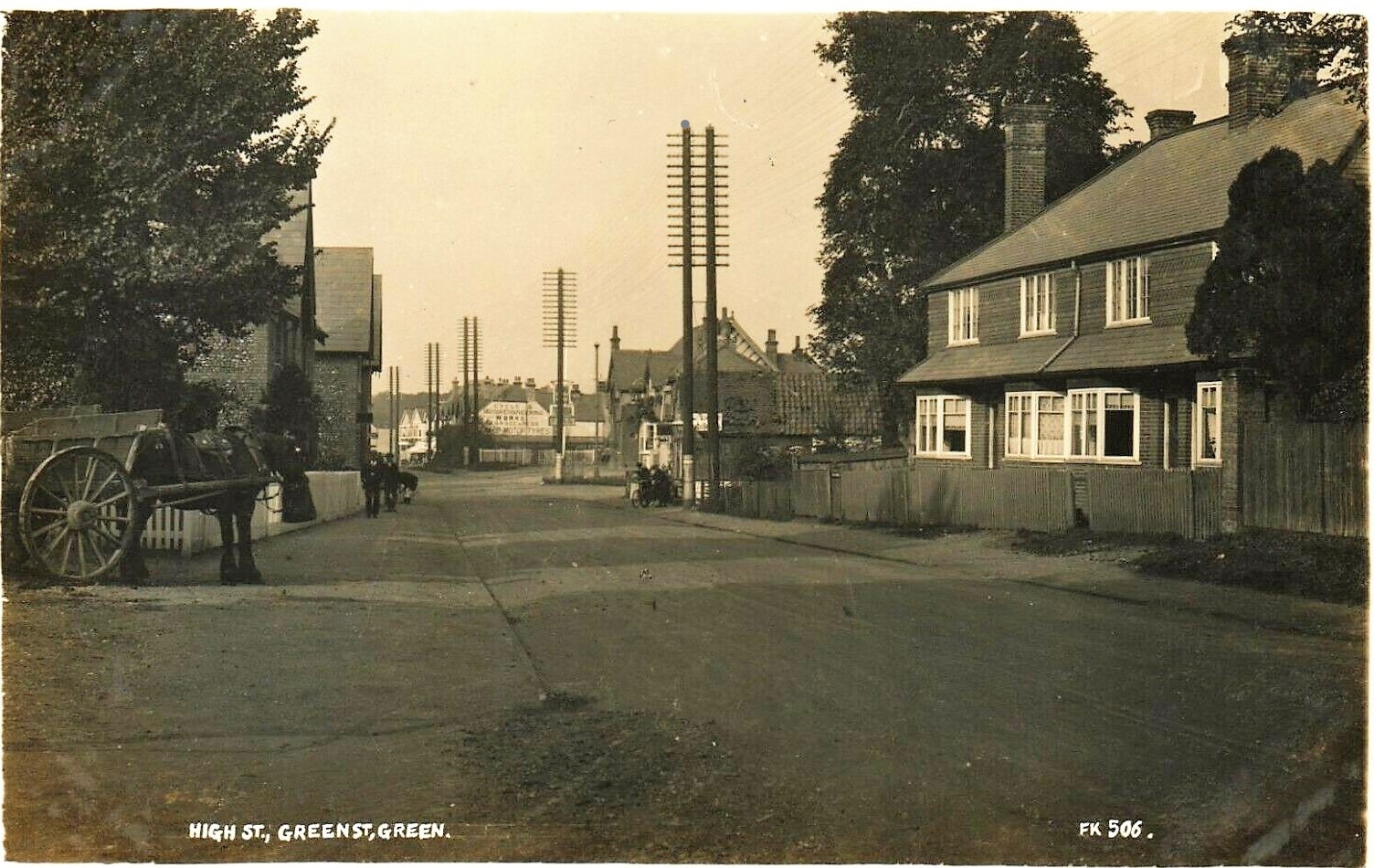
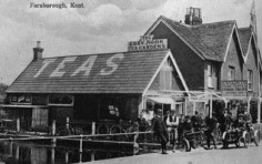
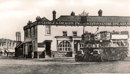
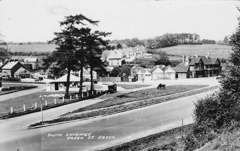
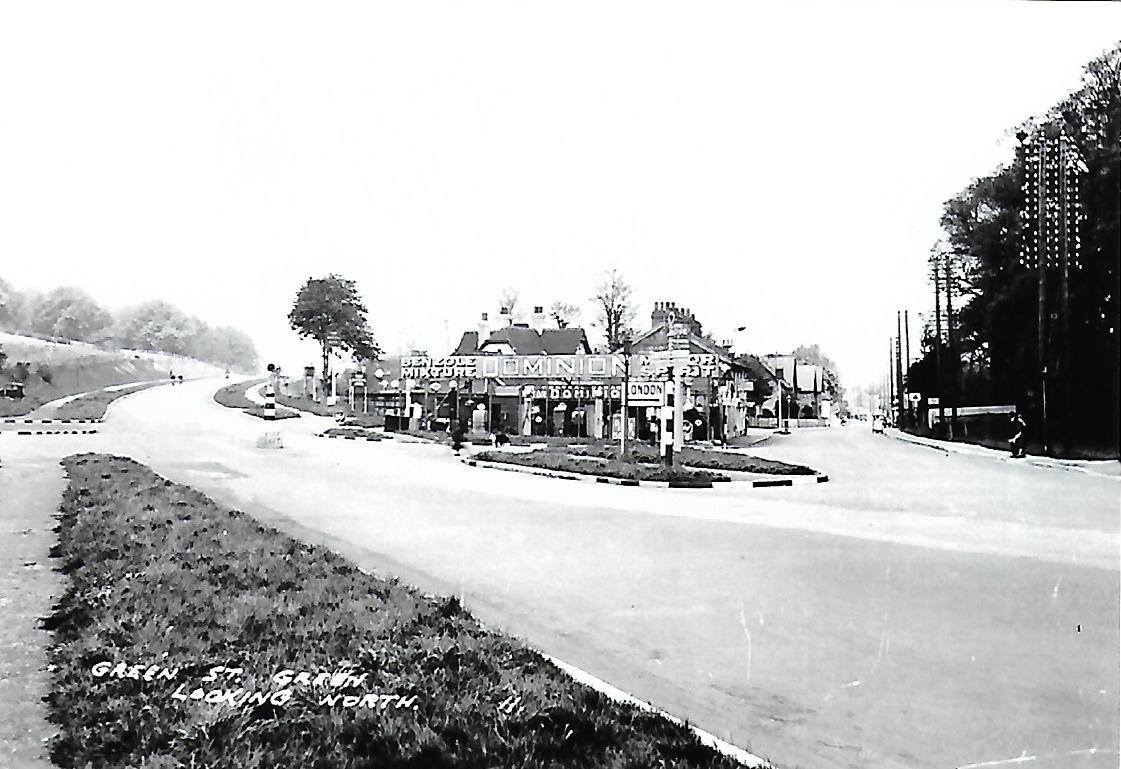
Before the Bypass
In the top photos the pub shown is the old Rose & Crown. This was demolished when the roundabout was put in and replaced by the current building a short distance away.